
Flight Safety in Estonia Remains Stable Despite GPS Disruptions
Authorities say aviation systems continue to ensure safe operations
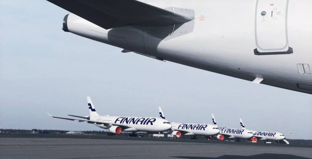
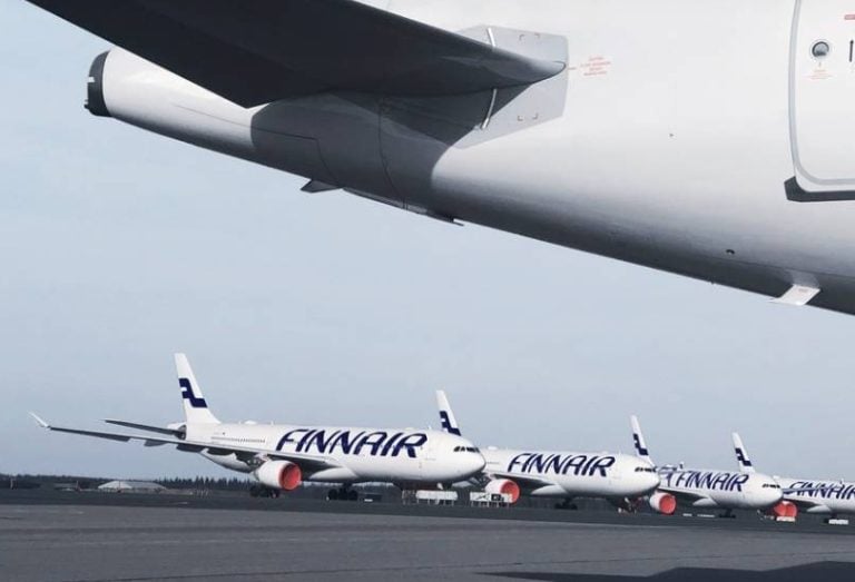
Finnair pauses some Estonia flights due to GPS interference.
Satellite navigation disruptions (satelliitnavigatsiooni häired) have been increasing in recent years, particularly due to Russian interference with global navigation satellite systems, yet Estonia’s aviation sector continues to operate safely. Officials emphasize that flight safety (lennuohutus) has not been negatively affected, even as disruptions are reported more frequently across the Baltic Sea region.
The rise in GNSS interference (GNSS häired) has been linked to geopolitical tensions, including military developments near Russian Baltic ports. Despite this, authorities note that the impact varies by geography and altitude, meaning that not all areas are equally affected. Estonia’s relatively small size also creates unique technical conditions that limit the reach of some disruptions.
Air traffic control (lennujuhtimine) specialists explain that Tallinn Airport has not experienced direct interference due to how radio waves propagate. According to experts, these disturbances travel in straight lines and often remain below the horizon at lower altitudes, effectively shielding the airport. This phenomenon highlights the importance of signal propagation (signaali levik) in determining where disruptions are felt.
At higher altitudes, however, interference becomes more noticeable, especially for aircraft flying further from the source. Even so, Estonia’s aviation systems are designed with multiple layers of redundancy, ensuring that navigation systems (navigatsioonisüsteemid) continue to function effectively.
Authorities monitoring the situation, including national regulatory bodies, report no significant increase in disruption levels in recent weeks. While aviation safety measures (lennunduse ohutusmeetmed) must adapt to evolving conditions, the overall system remains resilient and capable of handling such challenges.
Alternative navigation (alternatiivne navigatsioon) methods play a critical role in maintaining safety. Aircraft do not rely solely on satellite-based positioning but also use radar systems, multilateration, and ground-based technologies. These systems provide accurate location data, ensuring that pilots and controllers always have reliable information.
Controllers also assist pilots directly when necessary, guiding aircraft along safe paths. Techniques such as vectoring, where pilots follow precise headings, demonstrate the importance of pilot assistance (pilootide abistamine) in maintaining safe operations even during disruptions.
Instrument landing system (instrumentmaandumissüsteem) technology ensures that aircraft can land safely without relying on satellite signals. This ground-based system provides precise guidance during final approach, illustrating how traditional infrastructure continues to support modern aviation.
Despite these safeguards, complete independence from satellite navigation is not yet possible. Modern aircraft systems often integrate GNSS data into onboard computers, meaning disruptions can affect multiple components, including autopilot and weather systems. This interconnectedness underscores the complexity of modern aviation systems (kaasaegsed lennundussüsteemid).
Estonia faces additional challenges due to its limited radio navigation infrastructure. With only one VOR beacon in operation, reliance on satellite systems and advanced onboard technology is higher than in some other countries. This situation highlights the role of infrastructure limitations (taristu piirangud) in shaping aviation resilience.
Smaller aircraft are particularly vulnerable, as they depend more heavily on GNSS or conventional navigation aids. Larger aircraft, by contrast, benefit from inertial navigation systems that can temporarily compensate for signal loss, though these too require periodic correction.
Maritime navigation (merendusnavigatsioon) has also been affected, especially in the Gulf of Finland. Authorities have advised vessels to use traditional navigation methods, such as charts, when operating in areas with strong interference. Warmer weather conditions can further enhance signal propagation over water, making disruptions more widespread.
In Estonia, however, interference has not been detected in territorial waters outside the Gulf region. This localized impact demonstrates how environmental factors influence signal spread (signaali levikuala).
Security measures have been introduced to mitigate risks, including restricted zones near the eastern border. These steps aim to prevent accidents involving drones or other systems affected by interference, reinforcing risk management (riskijuhtimine) practices.
Looking ahead, experts suggest that increasing disruptions may place additional demands on controllers and reduce airspace capacity. However, current traffic levels in Estonia remain manageable, meaning that the system can adapt without major operational issues.
Overall, while GPS interference (GPS häired) continues to present technical challenges, Estonia’s aviation framework—supported by multiple navigation systems, trained personnel, and established procedures—ensures that safety remains uncompromised.
Key Estonian Vocabulary
satelliitnavigatsiooni häired satellite navigation disruptions
lennuohutus flight safety
GNSS häired GNSS interference
lennujuhtimine air traffic control
signaali levik signal propagation
navigatsioonisüsteemid navigation systems
lennunduse ohutusmeetmed aviation safety measures
alternatiivne navigatsioon alternative navigation
pilootide abistamine pilot assistance
instrumentmaandumissüsteem instrument landing system
kaasaegsed lennundussüsteemid modern aviation systems
taristu piirangud infrastructure limitations
merendusnavigatsioon maritime navigation
signaali levikuala signal spread
riskijuhtimine risk management
GPS häired GPS interference
For requests or suggestions: pr@estonianinstitute.com
Learn the official language of Estonia in 30 days thanks to the most complete Grammar, Vocabulary and Culture courses available. Start speaking Estonian today!
© Copyright 2026 Estonian Institute